Sir Nigel Gresley’s Canal Maps
Yet another free map added to my website. This one covers Sir Nigel Gresley’s Canal. That’s just to the north of Newcastle-under-Lyme and it’s not connected to any other canals, although it comes within a few miles of the Trent & Mersey Canal and the Newcastle-under-Lyme Canal.
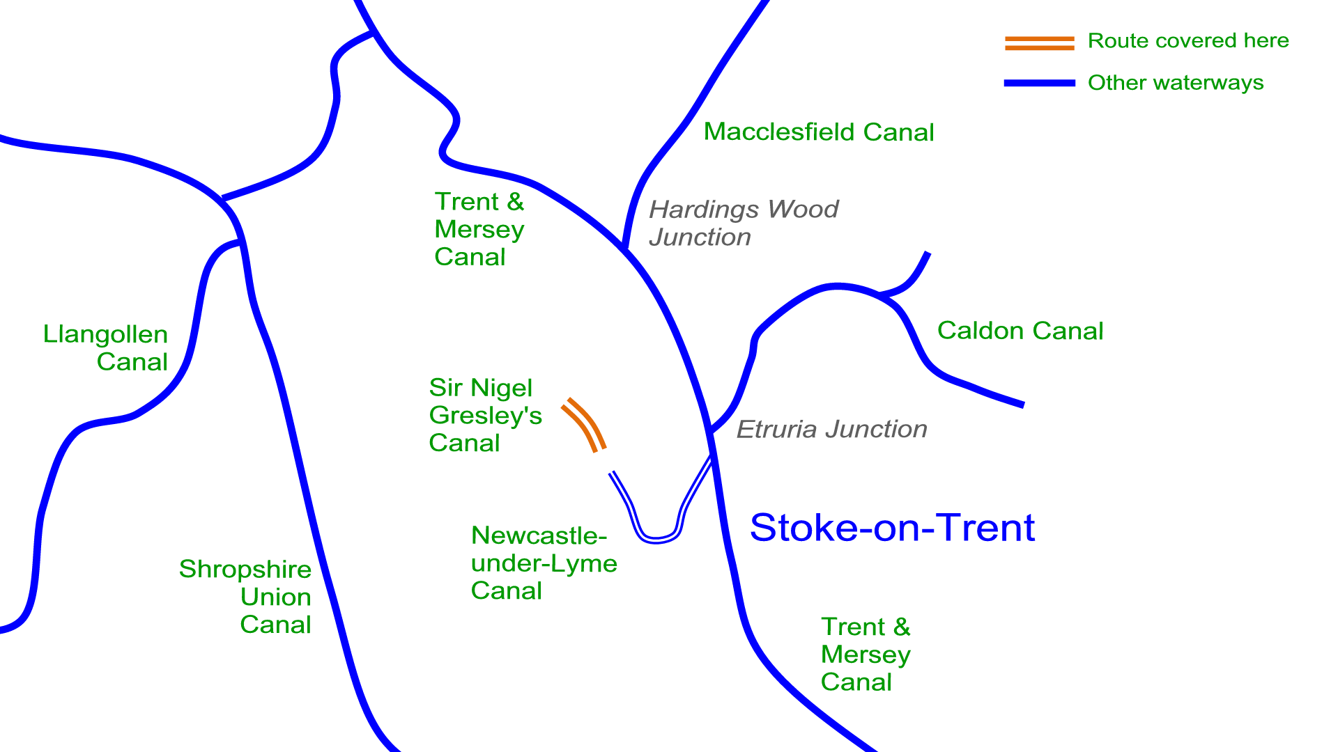
The canal opened in 1776 and closed around 1857. There’s very little to see of the canal now.
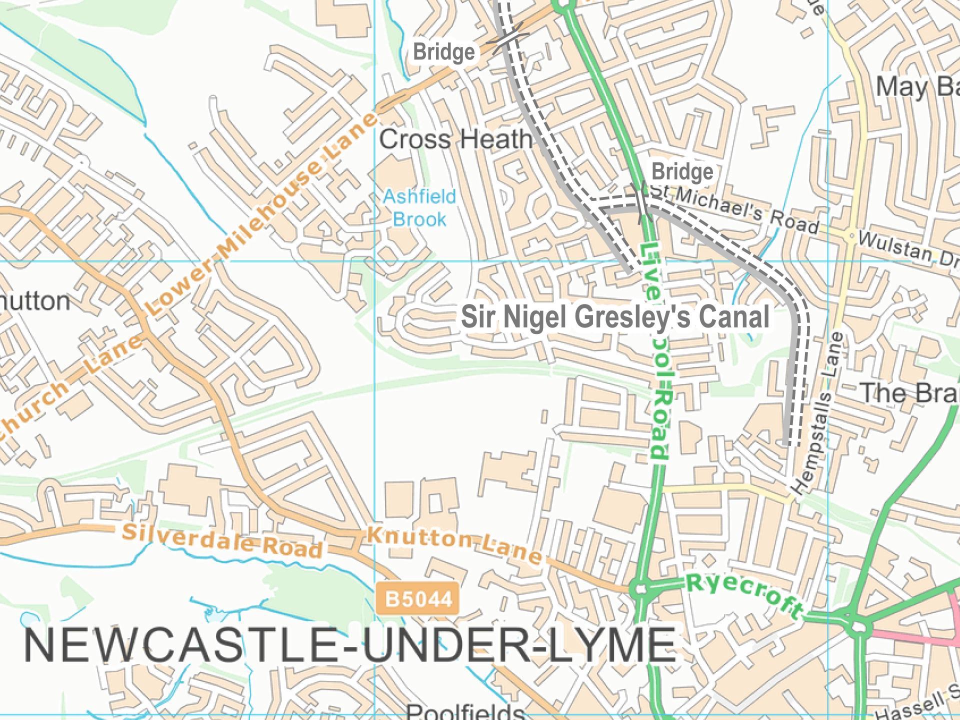
As with all my maps for canal restoration projects and abandoned waterways the maps are free to download. Just visit my main page for Sir Nigel Gresley’s Canal Maps.
 RSS Blog Feed
Hi Paul.
It seems that Sir Nigel Gresley’s Canal may have had a goods transfer link to the network for a brief period, according to a site I found;-
http://www.thepotteries.org/walks/lost_roads/15_gresley_canal.htm
However further research is needed. I haven’t yet found a map showing it, though there is a ‘fish pond’ on the likely line of the link. I suspect that the link was abandoned and partly used for the route of railways when they came. I think it may have gone east from the end of the eastern arm of Gresley’s canal and then through the fish pond. Apparently, the final 60′ height difference was supposed to have a rail incline but money ran out and it was just a road link.