| Farmers Bridge Junction > | |||
| Birmingham & Fazeley Canal | Next > | ||
| < Old Turn Junction | Worcester Bar > | ||
| < Next | BCN – Main Line | Next > | |
080826-132027 – SP-05943-86778 – BCN-ML 00.360
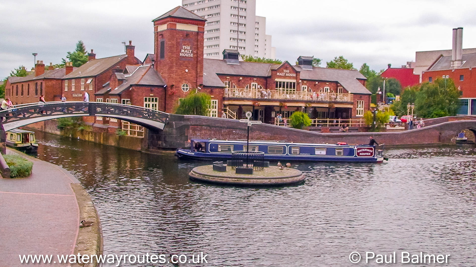
Our Waterway Routes narrowboat is turning onto the Birmingham and Fazeley Canal which is generally considered to start at Deep Cutting Junction these days.
Historically, the section from Deep Cutting Junction to Farmers Bridge Junction (at the top of Farmers Bridge Locks) was built as the Newhall Branch of the Birmingham Canal Navigations (BCN).
Our narrowboat is turning off the Main Line of the Birmingham Canal Navigations (BCN) having come from Gas Street Basin and Worcester Bar.
Behind the camera is Old Turn Junction where the Oozells Street Loop branches off and the Main Line continues towards Wolverhampton.
 RSS Blog Feed

Recent Comments