| < Jump to | Worcester & Birmingham Canal | Next > | |||
| < Worcester Bar | Hanbury Junction > | ||||
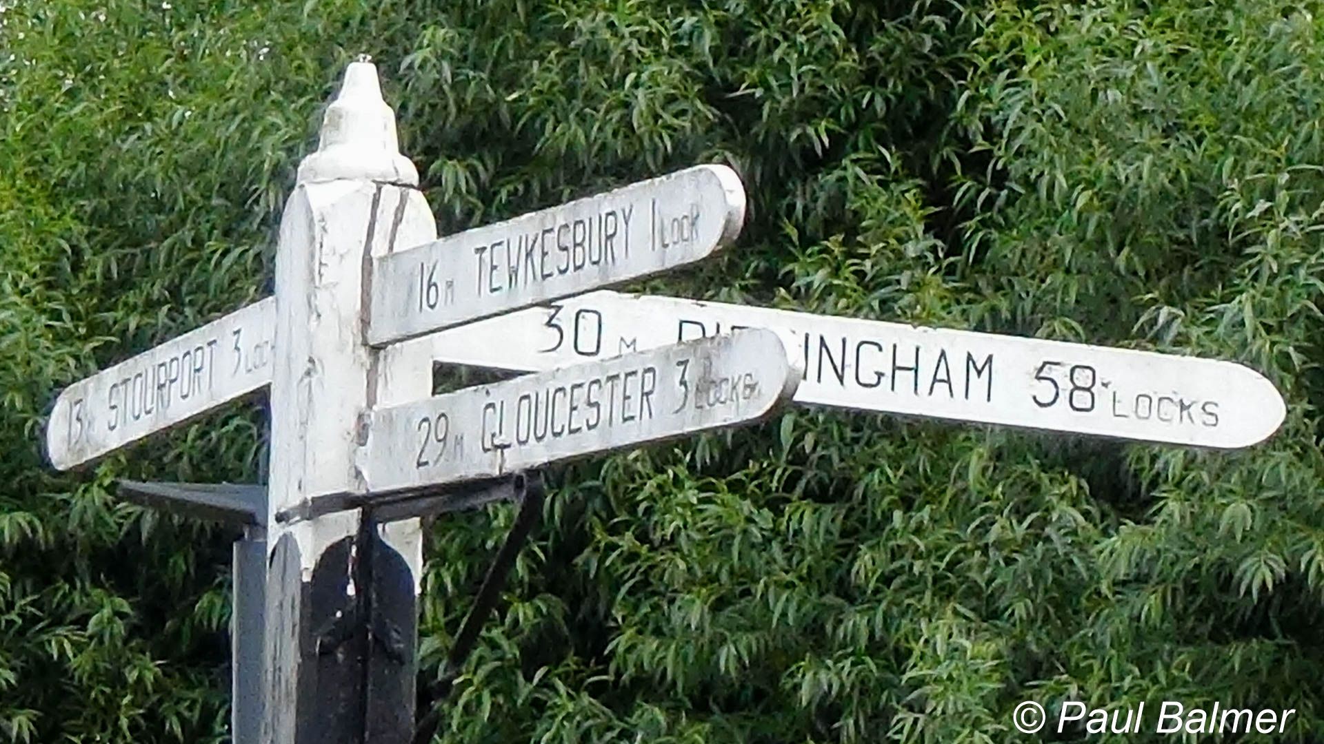
The signpost at Diglis Junction marks the start of the Worcester and Birmingham Canal where it meets the River Severn.
| Waterway and Kilometerage | WAB 00.000.01 |
| OS Grid Reference | SO 8408 53800 |
| Date and Time | 160731-130153 |
| Copyright © | Paul Balmer |
 RSS Blog Feed
Recent Comments