| < Next | Ravenhead Canal | Next > | |||
| < First | Last > | ||||
Route of the Ravenhead Canal
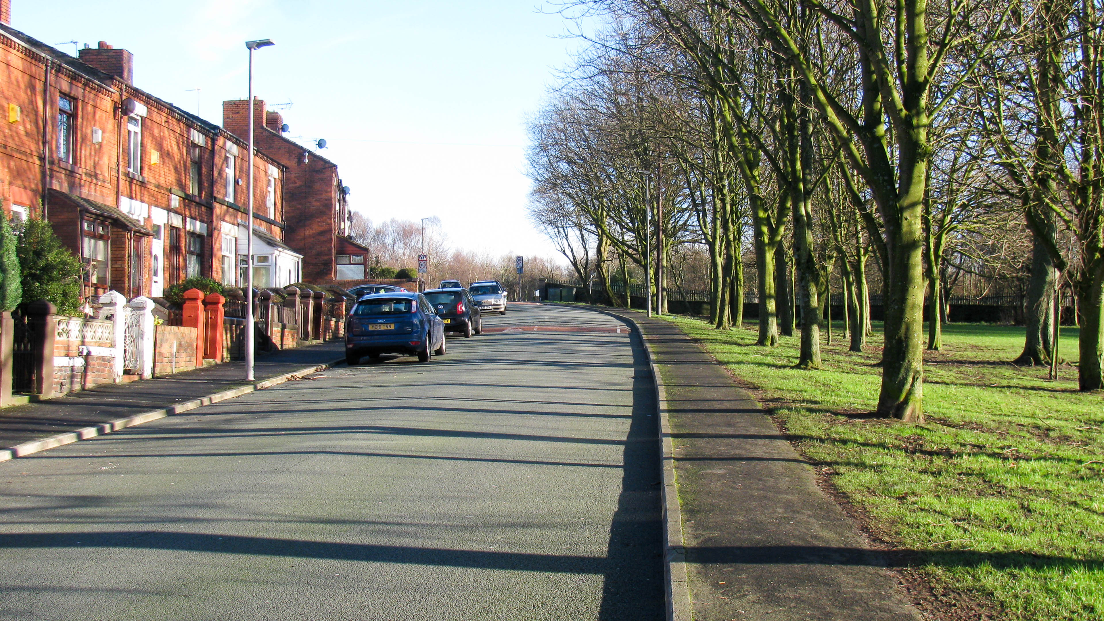
Looking East along Elm Road. The Ravenhead Canal would probably have crossed below road level near the crest of the hill, where the 20 mph signs shown in the previous photo can just be seen. Today the road crosses the railway line at the top of the hill, with the railway running behind the dark fence at the far end of the park on the right.
It’s not clear if Elm Road was there at the same time as the canal, but if it was it would have crossed over (rather than under) the canal which would have been around the level of the grass at the right of the photo. That would mean the houses on the left of the road are on land built up to road level with any trace of the canal well below their foundations.
| Waterway and Kilometerage | RAV 00.300 |
| OS Grid Reference | SJ 49889 93929 |
| Date and Time | 160114 141148 |
| Copyright © | Paul Balmer |
 RSS Blog Feed
Recent Comments