Map Updates – Issue 100 – May 2020
Yes, this is Issue 100
I have been producing monthly updates for a long time and, on rare occasions, when something important turned up, more than once a month.
I am pleased to say the monthly updates for my maps for May 2020 are now available. The issue dates were carefully selected to ensure the 100th Issue would be timed to be the issue I took to the Crick Boat Show. Unfortunately I didn’t anticipate the Coronavirus Lock-down when I started, and the consequential cancelling of the Crick Boat Show in May this year.
All these monthly updates mean you not only start with an up to date map but you can keep them up to date too.
These aren’t as many updates as usual this month, but there are still a few which were carefully sourced in accordance with the lock-down rules. A big thank you to those who spotted the changes during their permitted movements and let me know.
Those maps with significant changes include:-
Whole Country Map
Rings
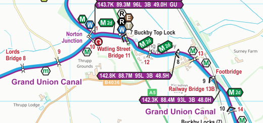
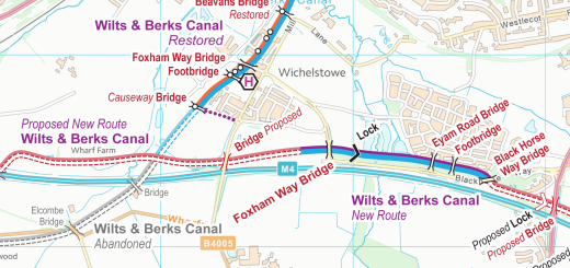
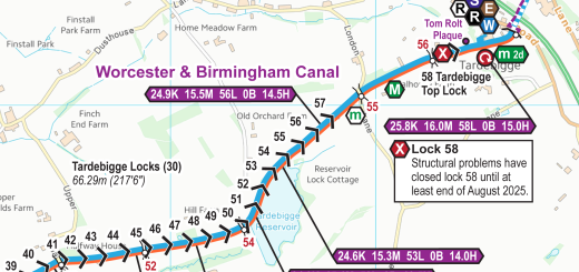
Waterways
- Ashton and Peak Forest Canal Map
- Chesterfield Canal Map
- Lee & Stort Navigations Map
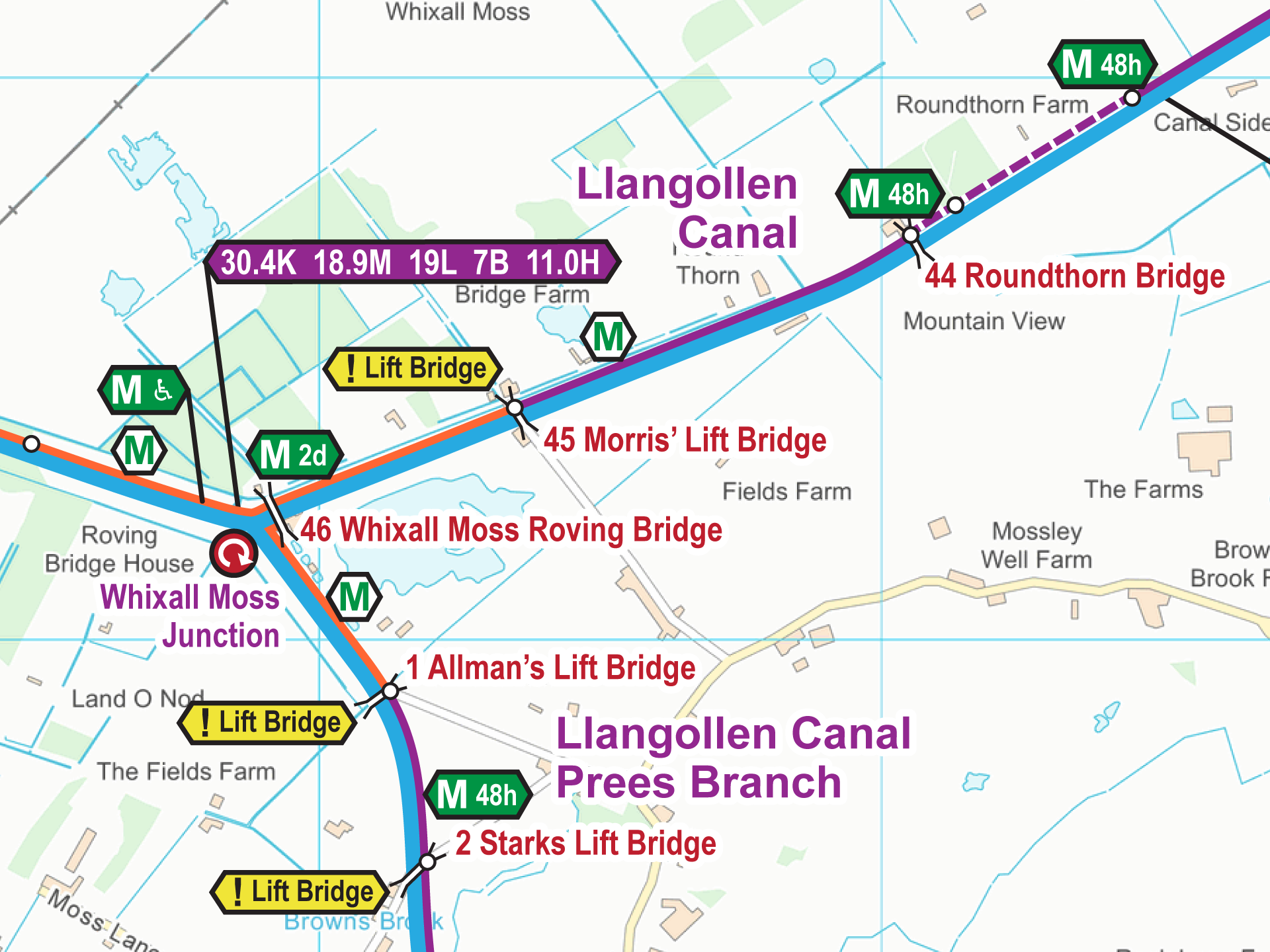
- Llangollen Canal Map
- Shropshire Union Canal Map
You can update your map to the latest version – cost price for the next six issues after purchase, then a discounted charge after that. You can also upgrade to a larger map. Just email paul@waterwayroutes.co.uk with details of your existing maps for a no obligation quote.
 RSS Blog Feed
Congratulations on getting to 100. Thanks for the many successfully guided miles/kilometres using the maps by boat, a good few on foot, and many vicarious wanderings from home.
Congratulations on your 100th issue!
Pip Mick and Tilly