Free Maps
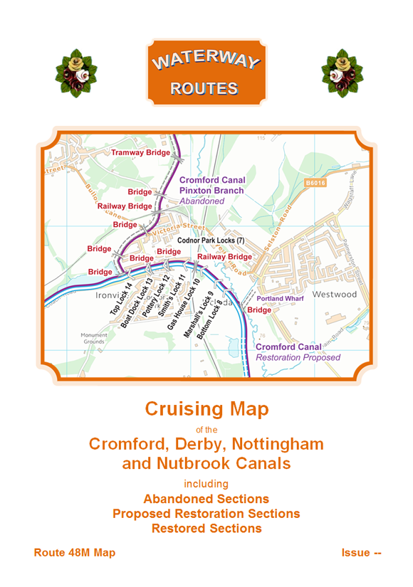
These are my free maps covering the Cromford, Derby, Nottingham and Nutbrook Canals.
Download these free maps (from the links at the end) to see how good my maps are, and to check you can install them on your device(s).
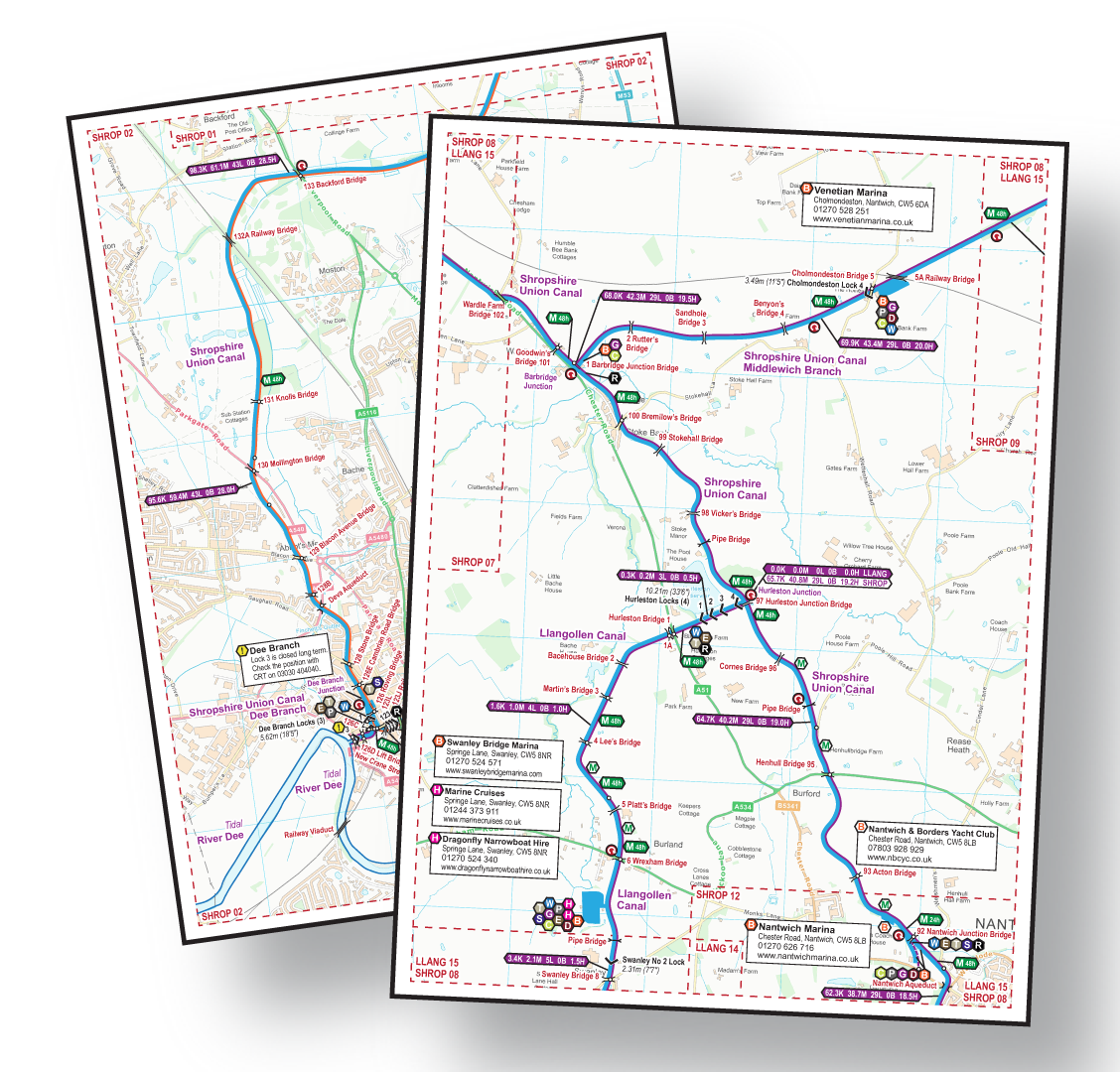
All the maps in my range are produced in this clear style showing the information you need for cruising, and helping with walking or cycling too.
They are all available to download in a choice of Acrobat (pdf) and Memory‑Map (qct) formats.
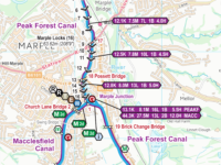
Clear Maps
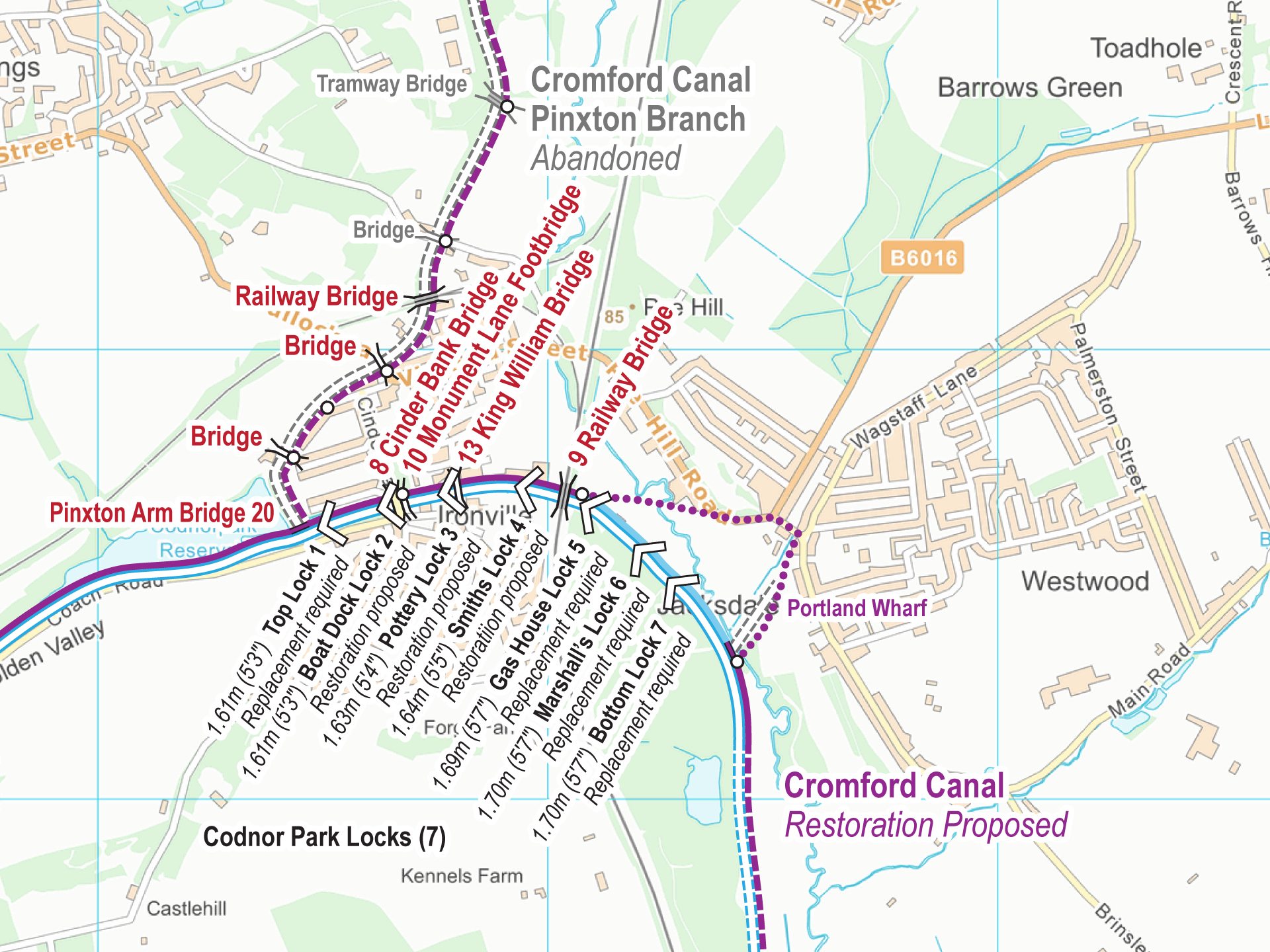
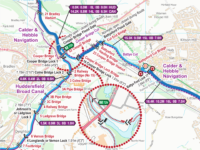
Clear presentation shows the Locks, bridges, and aqueducts etc. superimposed on an Ordnance Survey (OS) background map. Download the key to see the features which appear on the maps.
Route Covered
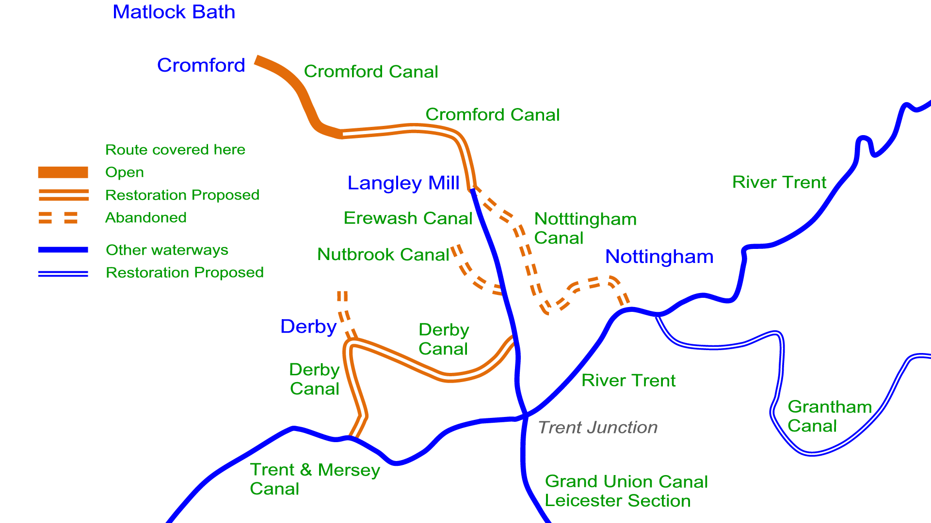
My free Cromford, Derby, Nottingham and Nutbrook Canals maps cover the route shown in orange including:-
- Cromford Canal
- Lea Wood Branch
- Pinxton Branch
- Derby Canal
- Little Eaton Branch
- River Derwent (Derbyshire)
- Nottingham Canal
- Robbinetts Arm
- Nutbrook Canal
- Hunloke’s Arm
- Stanhope’s Arm
Map Formats
The Cromford, Derby, Nottingham and Nutbrook Canals Maps are available in a choice of two formats:-
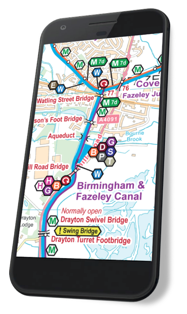
Printout A4 or A5
The Acrobat (pdf) map includes 18 pages of maps plus 5 cover pages. These can be viewed on screen a page at a time.
The pages are sized for printing A4, or A5 if your eyesight is good enough.
This map can be used on computers, laptops, phones and tablets with Acrobat Reader (or equivalent) software or app installed.
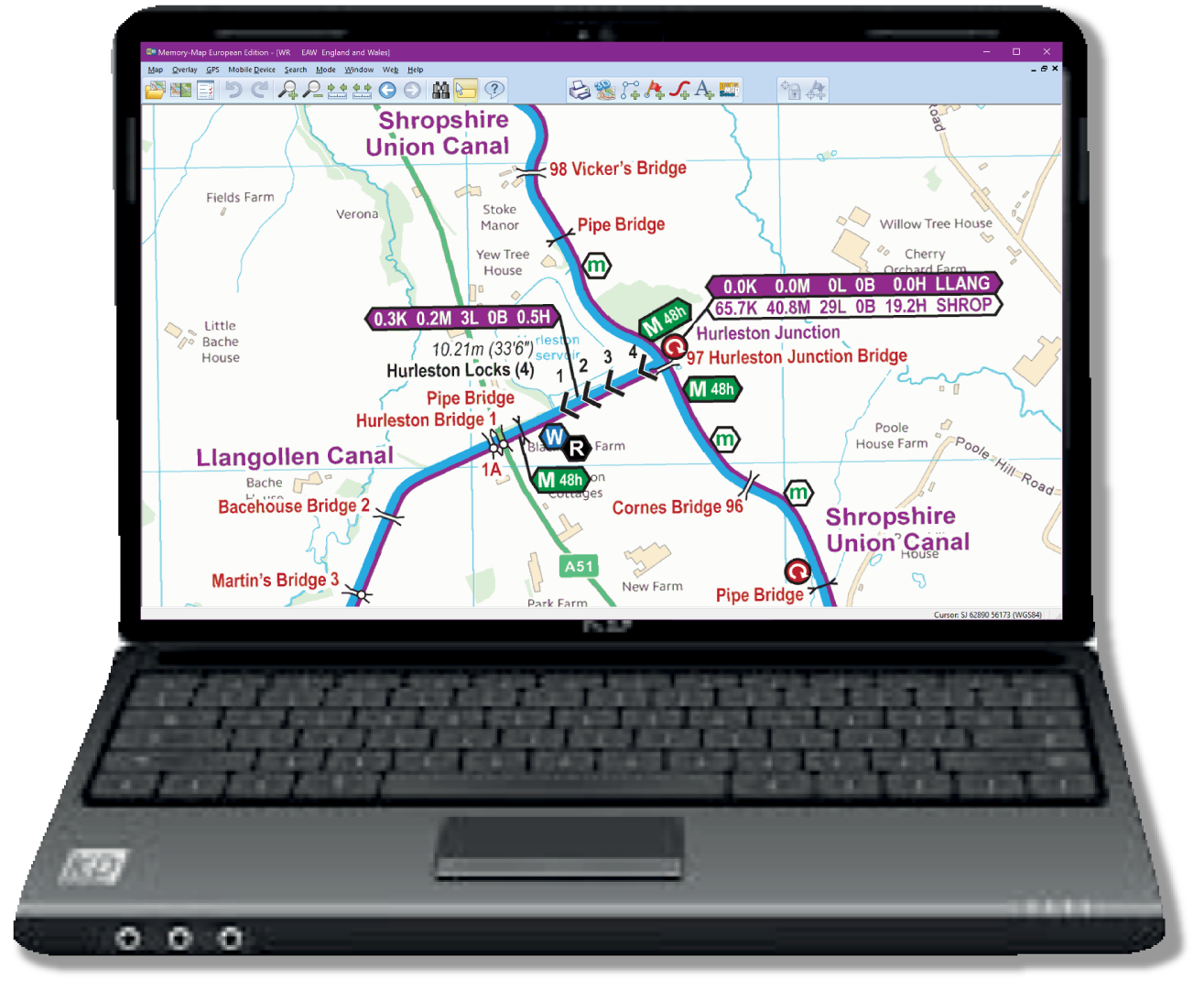
Laptop or Computer
The Memory-Map (qct) map has the same map pages joined into one scrollable and zoomable map.
This map works on Android, iPhone/iPad, Windows and Mac with Memory‑Map (or equivalent) software or app installed, and the classic map compatibility option enabled.
Installing
Please read more about installing each of the map formats, and the software or apps you will need to install:-
Licensing and Copyright
The maps are licenced and free for personal use. Business licences are available on request.
Copyright in the background maps is held by Ordnance Survey. Copyright in all other work is held by Waterway Routes. The maps should not be copied or distributed without permission except for the limited circumstances permitted by law.
Alternatives
The Cromford, Derby, Nottingham and Nutbrook Canals also appear in:-
- England & Wales Map which includes all the Waterway Routes maps joined into one large map which is cheaper than buying the maps individually.
Downloading
Please use these links to download and save my free Cromford, Derby, Nottingham and Nutbrook Canals Maps:-
- Cromford, Derby, Nottingham and Nutbrook Canals Map in Acrobat (pdf) format
- Cromford, Derby, Nottingham and Nutbrook Canals Map in Memory‑Map (qct) format
The file sizes to download are approximately:
- Acrobat (pdf) version 25Mb.
- Memory‑Map (qct) 17Mb
 RSS Blog Feed
Excellent maps, very clearly presented. Nice that maps of canals under restoration are free. I will therefore forgive the reference to the ‘Cromwell Canal’ on the Index Map!
Oops, a typo. That will be corrected in the June update. Thanks for letting me know.