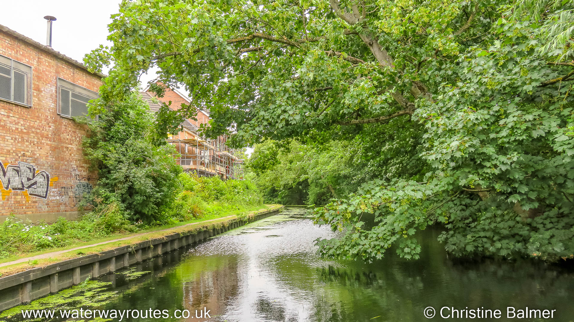
220706-150424 – SE 60935 52646 – FOSS 02-140 – © Christine Balmer
Progressing upstream as the available width for navigation gets narrower and narrower we have to remember we will need to reverse back through here.
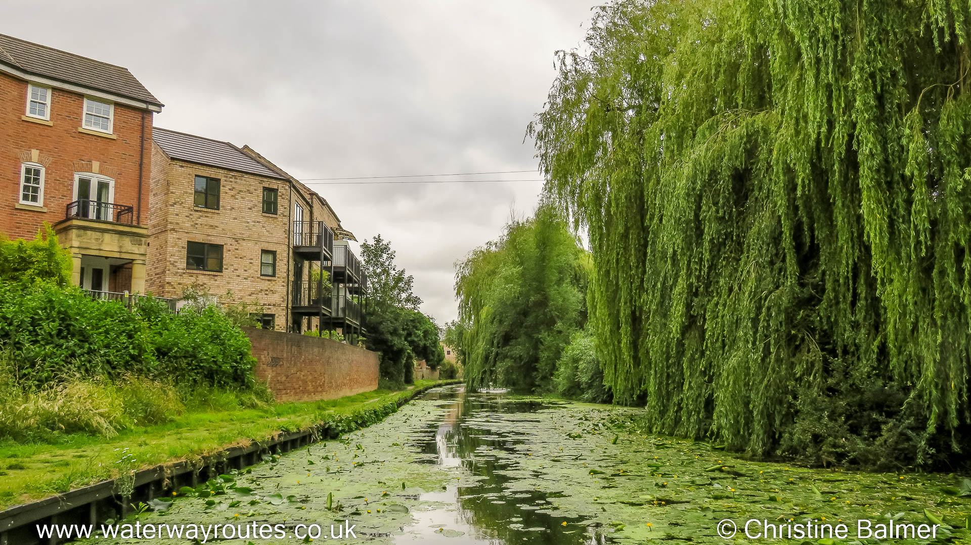
220706-151007 – SE 61041 52809 – FOSS 02-370 – © Christine Balmer
There’s not much of a channel through the weeds and they will snag our propeller if we can’t manage to reverse in a straight line.
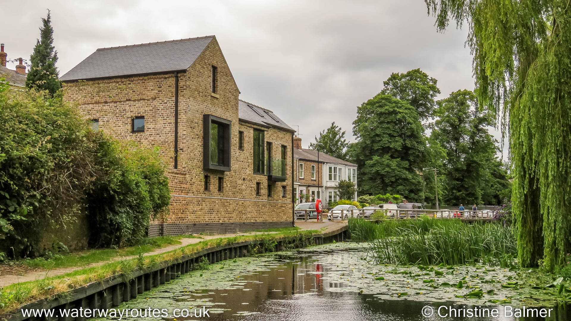
220706-151303 – SE 60961 52886 – FOSS 02-480 – © Christine Balmer
The path which has followed the River Foss for a while soon merges with the road where the reduction in channel width means we have almost reached our limit for navigating.
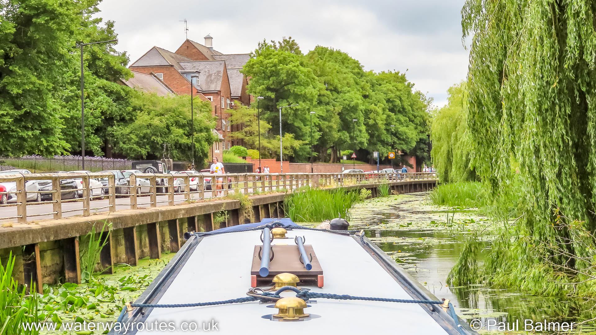
220706-151504 – SE 60929 52946 – FOSS 02-550 – © Paul Balmer
This is as far as we could navigate upstream. A fallen tree, not visible under water in the photo, blocks our progress. We have covered over 2.5km out of the possible 3.1km (1.6 miles out of 1.9 miles).
We’ll continue on foot for the remaining distance to the physical limit of navigation.
Now we have the tricky task of reversing back through all those narrow sections with weeds either side of the channel, but we do have the benefit of a bow thruster and plenty of practice using it. We can wind in the junction with Wormalds Cut.
 RSS Blog Feed
Recent Comments