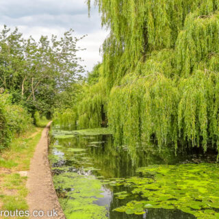
Navigation isn’t practical
Low overhanging trees would make navigation impossible for a narrowboat
![]()
Maps and DVDs for the Waterways of Britain
by Paul · Published 05/12/22 · Last modified 06/12/22
Low overhanging trees would make navigation impossible for a narrowboat
by Paul · Published 05/12/22 · Last modified 06/12/22
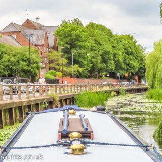
This is as far as we could navigate upstream. A fallen tree, not visible under water in the photo, blocks our progress. We have covered over 2.5km out of the possible 3.1km (1.6 miles out of 1.9 miles).
by Paul · Published 05/12/22 · Last modified 06/12/22
The picnic site and interpretation board above the arched Heyworth Green Bridge
by Paul · Published 05/12/22 · Last modified 06/12/22
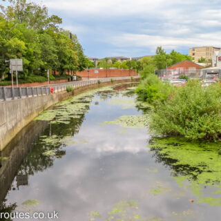
In many places the view, especially from the lower water level, is mostly concrete.
by Paul · Published 05/12/22 · Last modified 06/12/22
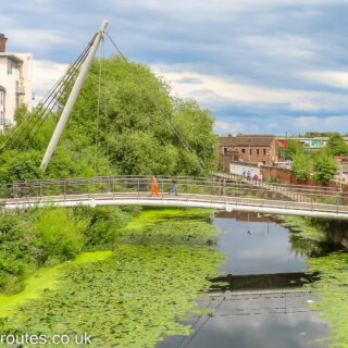
Looking down on the route gives some appreciation of how the River Foss passes through York
by Paul · Published 05/12/22 · Last modified 06/12/22
We will keep left where the short arm known as Wormalds Cut diverges to the right alongside the wedge shaped building with the tall end tower.
by Paul · Published 05/12/22 · Last modified 06/12/22
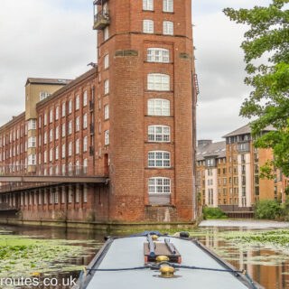
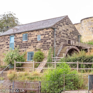
Immediately upstream of Tower Street Bridge and Castle Mills Lock is a watermill with an overshot waterwheel.
by Paul · Published 05/12/22 · Last modified 06/12/22
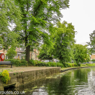
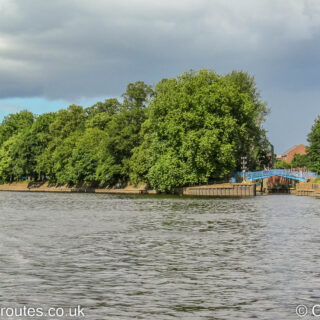
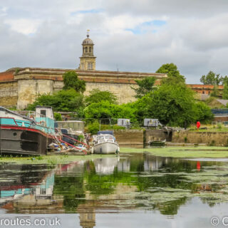
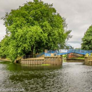
Looking upstream (northwards) on the River Ouse in York with where it is joined by the River Foss flowing in through the Blue Bridge on the right.
by Paul · Published 05/12/22 · Last modified 06/12/22
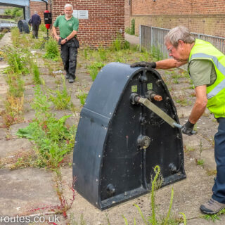
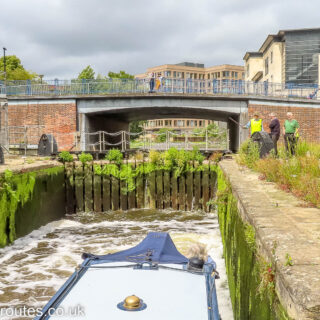
One of the volunteers putting the large windlass onto the winding mechanism ready to open the bottom gate on Castle Mills Lock on the River Foss in York.
by Paul · Published 05/12/22 · Last modified 06/12/22
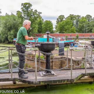
Castle Mills Lock, the only lock on the River Foss, is operated by volunteers from the IWA (Inland Waterways Association) and must be booked well in advance.
by Paul · Published 05/12/22 · Last modified 06/12/22
Entering the basin above the flood barrier on the River Foss in York. The basin curves to the right towards Castle Mills Lock.
by Paul · Published 05/12/22 · Last modified 29/12/22
Looking upstream along the River Foss in York, towards the large structure for the Flood Barrier. The barrier is closed during floods to stop …
by Paul · Published 05/12/22 · Last modified 18/12/22
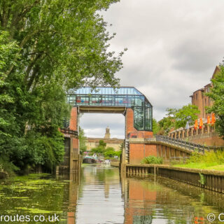
Entrance to the River Foss which flows under the blue bridge to join the River Ouse at York.
by Paul · Published 04/12/22 · Last modified 06/12/22
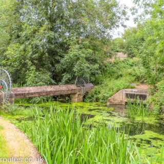
A pipe crosses the River Foss just above water level and forms the limit of navigation, around 3.13 kilometres or 1.95 miles from the junction with the River Ouse.
by Paul · Published 04/12/22 · Last modified 06/12/22
Keeping well back in Castle Mills Lock as the volunteers from the IWA (Inland Waterways Association) operate the lock for us to take our Waterway Routes narrowboat through.
 England & Wales Waterway Map for Download
 South Pennine Ring Map for Download
England & Wales Waterway Map for Download
England & Wales Waterway Map for Download
South Pennine Ring Map for Download
England & Wales Waterway Map for Download
England & Wales Waterway Map for Download
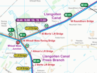 Llangollen Canal Map for Download
 RSS Blog Feed
Recent Comments